
Súbor:Mappa storica A8.svg

Veľkosť tohoto PNG náhľadu tohoto SVG súboru: 800 × 566 pixelov. Iné rozlíšenia: 320 × 226 pixelov | 640 × 453 pixelov | 1 024 × 724 pixelov | 1 280 × 905 pixelov | 2 560 × 1 810 pixelov | 1 052 × 744 pixelov .
Pôvodný súbor (SVG súbor, 1 052 × 744 pixelov, veľkosť súboru: 48 KB)
Zhrnutie
| Popis |
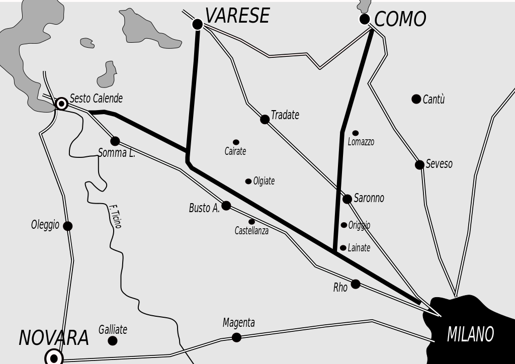
English: Historical map of the original A8 motorway, Italy
Italiano: Mappa storica dell'originale percorso dell'A8 |
| Dátum | |
| Zdroj | Vlastné dielo |
| Autor | Gigillo83 |
Licencovanie
Ja, držiteľ autorských práv k tomuto dielu ho týmto zverejňujem za podmienok nasledovných licencií:
Tento súbor podlieha licencii Creative Commons Attribution-Share Alike 3.0 Unported
- Môžete slobodne:
- zdieľať – kopírovať, šíriť a prenášať dielo
- meniť ho – upravovať dielo
- Za nasledovných podmienok:
- uvedenie autorov – Musíte spomenúť autorov (jednotlivo alebo kolektívne), poskytnúť odkaz na licenciu a uviesť, či ste niečo zmenili. Môžete to urobiť ľubovoľným primeraným spôsobom, ale nie spôsobom naznačujúcim, že poskytovateľ licencie podporuje vás alebo vaše použitie diela.
- meniť za rovnakých podmienok – Ak toto dielo zmeníte, prevediete do inej formy alebo použijete ako základ iného diela, musíte výsledok šíriť pod rovnakou alebo kompatibilnou licenciou ako originál.

|
Bolo udelené povolenie kopírovať, širiť a/alebo meniť tento dokument za podmienok GNU Free Documentation License, verzie 1.2 alebo ktorejkoľvek neskoršej verzie publikovanej Free Software Foundation; bez Nemenných častí, bez Textov na prednej obálke a bez Textov na zadnej obálke. Kópia tejto licencie je zahrnutá v časti nazvanej GNU Free Documentation License. |
Môžete si zvoliť ľubovolnú z týchto licencií.
História súboru
Po kliknutí na dátum/čas uvidíte ako súbor vyzeral vtedy.
| Dátum/Čas | Náhľad | Rozmery | Používateľ | Komentár | |
|---|---|---|---|---|---|
| aktuálna | 18:59, 24. september 2009 | | 1 052 × 744 (48 KB) | Gigillo83 | Inserimento nomi località |
| 18:47, 24. september 2009 |  | 1 052 × 744 (51 KB) | Gigillo83 | {{Information |Description={{en|1=Historical map of the original A8 motorway, Italy}} {{it|1=Mappa storica dell'originale percorso dell'A8}} |Source=Own work by uploader |Author=Gigillo83 |Date=24/09/2009 |Permission= |other_versions= } |
Použitie súboru
Na tento súbor odkazuje nasledujúca stránka:
Globálne využitie súborov
Nasledovné ďalšie wiki používajú tento súbor:
- Použitie na ca.wikipedia.org
- Použitie na de.wikipedia.org
- Použitie na en.wikipedia.org
- Použitie na fr.wikipedia.org
- Použitie na it.wikipedia.org
- Použitie na ja.wikipedia.org
- Použitie na lmo.wikipedia.org
- Použitie na ms.wikipedia.org
- Použitie na nl.wikipedia.org
- Použitie na pt.wikipedia.org
- Použitie na ro.wikipedia.org
- Použitie na ru.wikipedia.org
- Použitie na sr.wikipedia.org
- Použitie na sv.wikipedia.org
- Použitie na th.wikipedia.org
- Použitie na uk.wikipedia.org
- Použitie na vi.wikipedia.org